


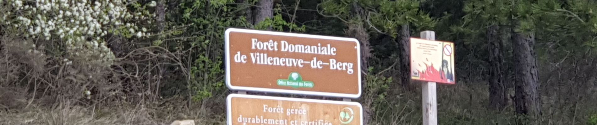
la forêt des sens Villeneuve de Berg

compteclient
User
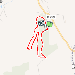

Length
3.5 km

Max alt
454 m

Uphill gradient
62 m
Km-Effort
4.3 km

Min alt
400 m

Downhill gradient
64 m
Boucle
Yes
Creation date :
2019-04-07 08:40:02.026
Updated on :
2019-04-07 09:50:22.975
1h08
Difficulty : Very easy
1h00
Difficulty : Very easy
30m
Difficulty : Very easy

FREE GPS app for hiking
 SityTrail
IGN / Geographical institutes
SityTrail Plus
The world is yours!
About
Trail Walking of 3.5 km to be discovered at Auvergne-Rhône-Alpes, Ardèche, Villeneuve-de-Berg. This trail is proposed by compteclient.
Photos


Positioning
Country:
France
Region :
Auvergne-Rhône-Alpes
Department/Province :
Ardèche
Municipality :
Villeneuve-de-Berg
Location:
Unknown
Start:(Dec)
Start:(UTM)
620250 ; 4933892 (31T) N.
Comments