


etretat

prv
User
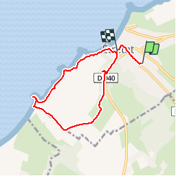

Length
6 km

Max alt
99 m

Uphill gradient
180 m
Km-Effort
8.4 km

Min alt
4 m

Downhill gradient
177 m
Boucle
No
Creation date :
2019-04-07 09:03:19.655
Updated on :
2019-04-07 10:44:41.032
1h40
Difficulty : Easy

FREE GPS app for hiking
 SityTrail
IGN / Geographical institutes
SityTrail Plus
The world is yours!
About
Trail Walking of 6 km to be discovered at Normandy, Seine-Maritime, Étretat. This trail is proposed by prv.
Description
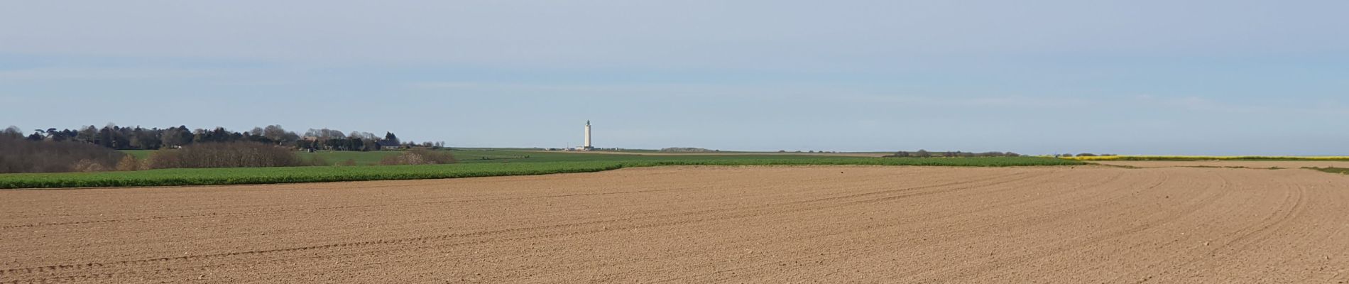
balade sur les falaises
Photos


Positioning
Country:
France
Region :
Normandy
Department/Province :
Seine-Maritime
Municipality :
Étretat
Location:
Unknown
Start:(Dec)
Start:(UTM)
298796 ; 5509578 (31U) N.
Comments