


7 km | 8.6 km-effort


User


FREE GPS app for hiking
 SityTrail
IGN / Geographical institutes
SityTrail World
The world is yours!
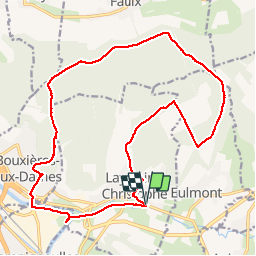
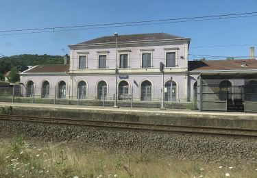
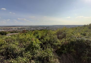
Trail Walking of 20 km to be discovered at Grand Est, Meurthe-et-Moselle, Lay-Saint-Christophe. This trail is proposed by joelclaudel.
Circuit en partie balisé disque jaune.
La Haute Laye,la Grande Rang (piste ULM), Croix des Pestiférés,GR 5, GR de Pays autour de Nancy, Bois de Faulx, Bois de Chavenois, Bouxières aux Dames (pelouse,parcours sportif), retour par la Meurthe,le Moulin Noir, Voie Verte.

On foot

On foot
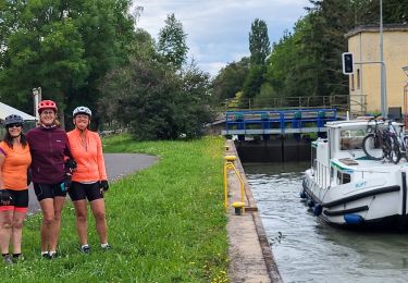
Bicycle tourism

On foot
On foot
On foot
On foot

Walking
Walking