


Circuit du Rutscherle variante

Claudele
User
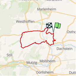

Length
21 km

Max alt
306 m

Uphill gradient
423 m
Km-Effort
27 km

Min alt
166 m

Downhill gradient
423 m
Boucle
Yes
Creation date :
2019-04-11 06:55:58.66
Updated on :
2019-04-11 19:15:48.866
6h07
Difficulty : Medium

FREE GPS app for hiking
 SityTrail
IGN / Geographical institutes
SityTrail Plus
The world is yours!
About
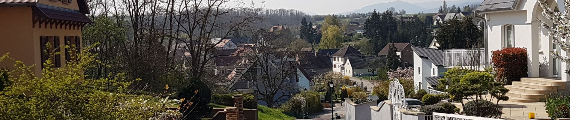
Trail Walking of 21 km to be discovered at Grand Est, Bas-Rhin, Dahlenheim. This trail is proposed by Claudele.
Photos


38 photos in total. Please click on a photo to see them all in the gallery.
Positioning
Country:
France
Region :
Grand Est
Department/Province :
Bas-Rhin
Municipality :
Dahlenheim
Location:
Unknown
Start:(Dec)
Start:(UTM)
389869 ; 5382537 (32U) N.
Comments