Trail Walking Cabrières-d'Avignon - 
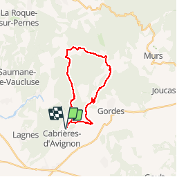
CABRIERE les Avignon - Photo
© OpenStreetMap contributors
Length
Length
23 km
Max alt
Max alt
643 m
Uphill gradient
Uphill gradient
572 m
Km-Effort
Km-Effort  
30 km
Min alt
Min alt
216 m
Downhill gradient
Downhill gradient
571 m
Boucle
Boucle
Yes
Creation date :
2019-04-11 07:41:10.445
Updated on :
2019-04-28 05:52:22.204

(0 Reviews)

Walking
Walking
7h23
Difficulty : Difficult

Scan this QR Code to open this trail in the SityTrail application

FREE GPS app for hiking

Logo SityTrail SityTrail

IGN / Geographical institutes

Download SityTrail from the App Store Download SityTrail from Google Play

Logo SityTrail SityTrail Plus

The world is yours!

Download SityTrail from the App Store Download SityTrail from Google Play Download SityTrail on Huawei AppGallery

About

Trail Walking of 23 km to be discovered at Provence-Alpes-Côte d'Azur, Vaucluse, Cabrières-d'Avignon. This trail is proposed by FLORENSAC.

Description

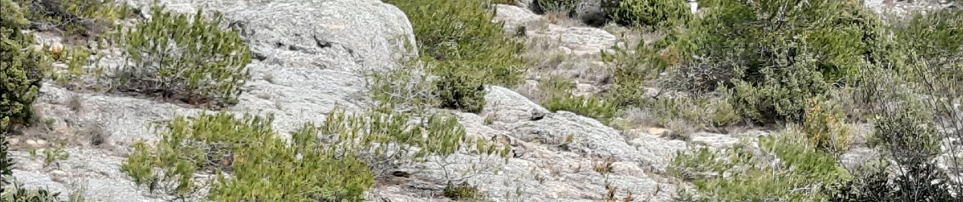
Une jolie rando pour la journée
des passages un peu abrupts en milieu de parcours
balisage jaune et bleu  
prendre des précautions par temps de pluie
quelques endroits  sur les rochers et des pierriers
pas très facile par endroit
sur le logo il est inscrit FACILE je n'ai pas pu le changer
j'aurai préféré mettre moyennement DIFFICILE

Elevation profile

Photos

Positioning

Country:
France
Region :
Provence-Alpes-Côte d'Azur
Department/Province :
Vaucluse
Municipality :
Cabrières-d'Avignon
Location:
Unknown
Start:(UTM)
673109 ; 4862811 (31T) N.


Close
My subscriptions