


28 km | 37 km-effort

User GUIDE


FREE GPS app for hiking
 SityTrail
IGN / Geographical institutes
SityTrail World
The world is yours!
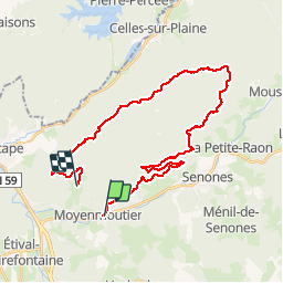
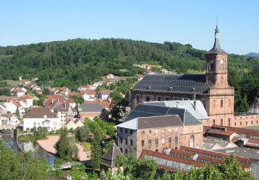
Trail Mountain bike of 30 km to be discovered at Grand Est, Vosges, Moyenmoutier. This trail is proposed by fabwin.
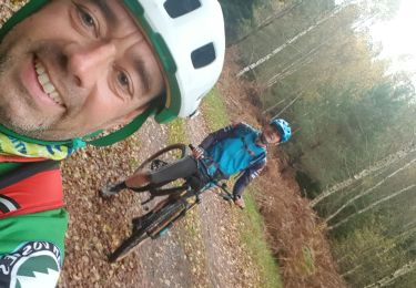
Très belle sortie vtt à Moyenmoutier avec Sébastien & Luca.
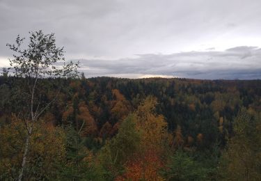
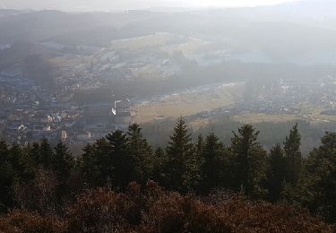
Le début est assez dur avec une grosse montée de suite, je pense qu'il vaut mieux se chauffer un peu avant. Des magnifiques singles qui un coup sont en montée, un autre encore en montée et finalement ils y en a quand même en descentes, Ouf!!!
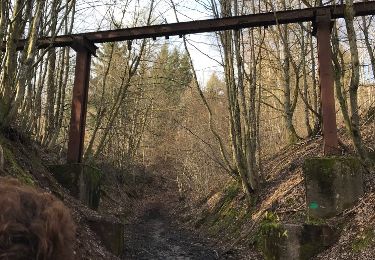
On a été sur la crête sur des hauts lieux de la 1ère guerre mondiale. Beaucoup de vestiges persistent à travers le temps et sont d'ailleurs bien entretenus.
Un parcours technique qui se mérite.
30 km et environ 1000m de D !!!


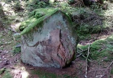
22 photos in total. Please click on a photo to see them all in the gallery.
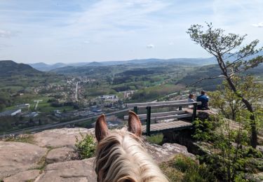
Horseback riding
Walking
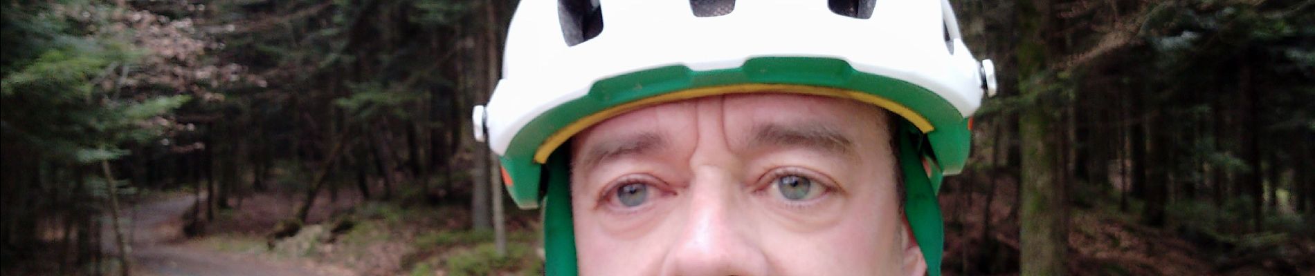
Mountain bike

Mountain bike
On foot
Mountain bike
Walking
Walking
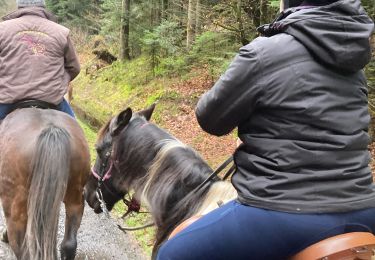
Horseback riding