


Circuit de Bacchus - Le Riewerle

VacheKiri67
User


Length
15.9 km

Max alt
270 m

Uphill gradient
282 m
Km-Effort
19.7 km

Min alt
170 m

Downhill gradient
283 m
Boucle
Yes
Creation date :
2019-04-15 08:38:31.629
Updated on :
2019-04-15 18:31:27.213
4h44
Difficulty : Medium

FREE GPS app for hiking
 SityTrail
IGN / Geographical institutes
SityTrail Plus
The world is yours!
About
Trail Walking of 15.9 km to be discovered at Grand Est, Bas-Rhin, Marlenheim. This trail is proposed by VacheKiri67.
Description
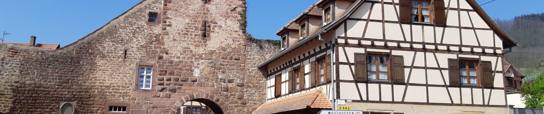
Marlenheim - Wangen - Traenheim - Scharrachbergheim - Odratzheim - Kirchheim.
Balisage : anneau vert.
Une randonnée proposée par l'office de tourisme de Molsheim.
Faite le 15/04/2019 avec un beau soleil.
Photos


Positioning
Country:
France
Region :
Grand Est
Department/Province :
Bas-Rhin
Municipality :
Marlenheim
Location:
Unknown
Start:(Dec)
Start:(UTM)
388709 ; 5386493 (32U) N.
Comments