


7.5 km | 10.5 km-effort

User GUIDE


FREE GPS app for hiking
 SityTrail
IGN / Geographical institutes
SityTrail World
The world is yours!
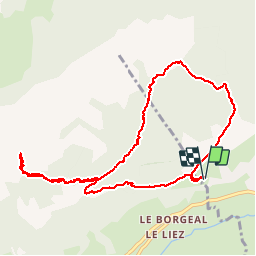
Trail Walking of 10.4 km to be discovered at Auvergne-Rhône-Alpes, Upper Savoy, Saint-Jean-de-Sixt. This trail is proposed by Kargil.
Malgré son caractère incomplet, je la publie quand même car chacun pourra la compléter à sa guise par le Lachat ou/et le mont Suet.
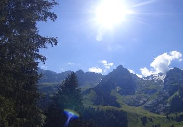
En ce lundi de pâques, la neige était encore abondante et surtout molle rendant la progression difficile et fatigante.
Sans doute plus agréable dans le sens horaire et à faire par le sentier supérieur (1 700 m) plus tard en saison.

Mountain bike
Mountain bike
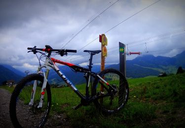
Mountain bike
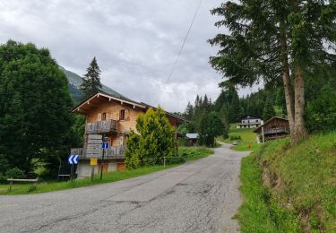
Walking
Mountain bike

Walking
Walking

Snowshoes
Walking