


vernègues.

francislassauce
User
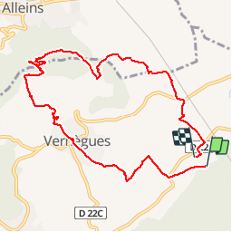

Length
10.5 km

Max alt
387 m

Uphill gradient
240 m
Km-Effort
13.8 km

Min alt
190 m

Downhill gradient
253 m
Boucle
No
Creation date :
2019-04-23 12:53:19.35
Updated on :
2019-04-23 15:51:46.406
2h57
Difficulty : Very easy

FREE GPS app for hiking
 SityTrail
IGN / Geographical institutes
SityTrail Plus
The world is yours!
About
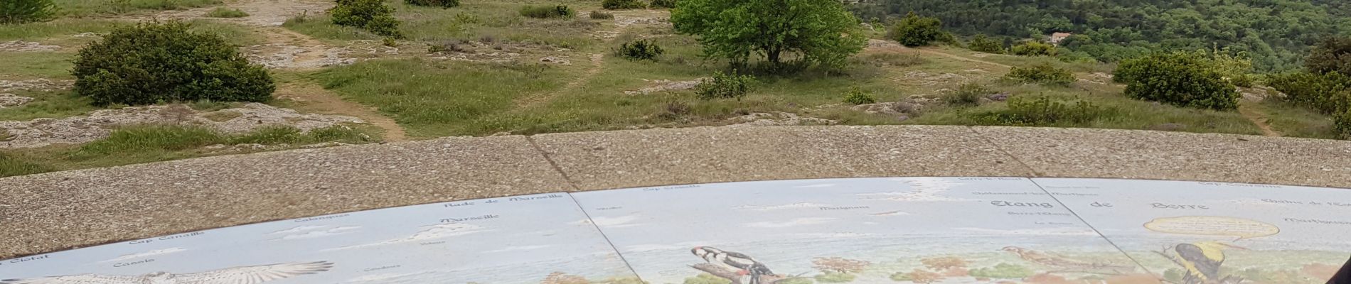
Trail Nordic walking of 10.5 km to be discovered at Provence-Alpes-Côte d'Azur, Bouches-du-Rhône, Vernègues. This trail is proposed by francislassauce.
Photos


Positioning
Country:
France
Region :
Provence-Alpes-Côte d'Azur
Department/Province :
Bouches-du-Rhône
Municipality :
Vernègues
Location:
Unknown
Start:(Dec)
Start:(UTM)
677074 ; 4838952 (31T) N.
Comments