


Oberhaslach

oscar1
User
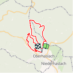

Length
13.1 km

Max alt
671 m

Uphill gradient
650 m
Km-Effort
22 km

Min alt
304 m

Downhill gradient
649 m
Boucle
Yes
Creation date :
2019-04-24 08:39:41.809
Updated on :
2019-04-26 21:31:47.231
4h08
Difficulty : Medium

FREE GPS app for hiking
 SityTrail
IGN / Geographical institutes
SityTrail Plus
The world is yours!
About
Trail Walking of 13.1 km to be discovered at Grand Est, Bas-Rhin, Oberhaslach. This trail is proposed by oscar1.
Description
Prendre la rue des Écoles, dans le prolongement du début du parcours, et se diriger vers le parking situé non loin du départ
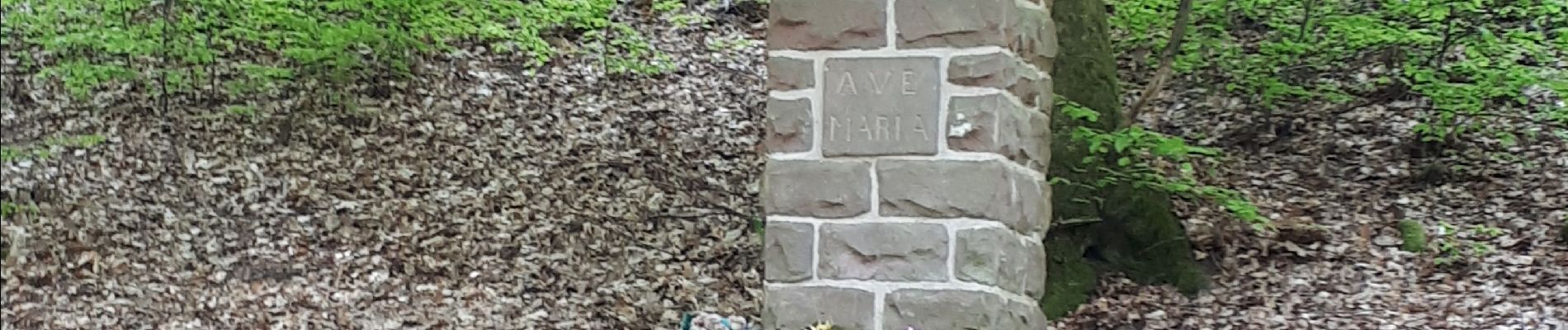
Photos


Positioning
Country:
France
Region :
Grand Est
Department/Province :
Bas-Rhin
Municipality :
Oberhaslach
Location:
Unknown
Start:(Dec)
Start:(UTM)
376591 ; 5379116 (32U) N.
Comments