


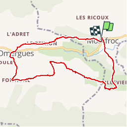

12.2 km | 23 km-effort


User


FREE GPS app for hiking
 SityTrail
IGN / Geographical institutes
SityTrail World
The world is yours!
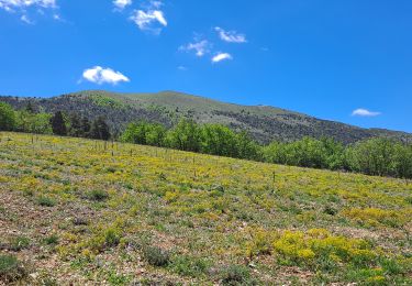
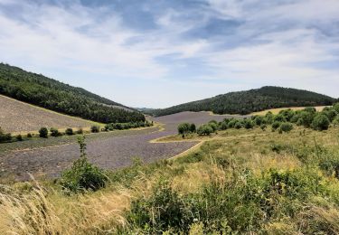
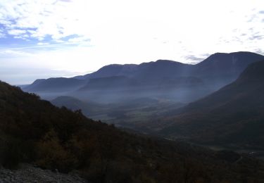
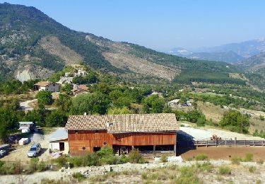
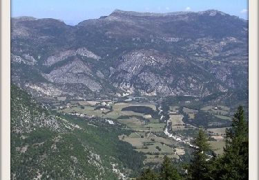
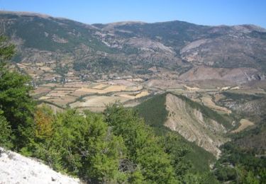
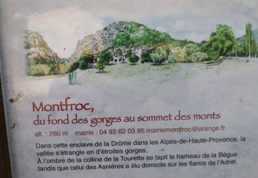
Trail Walking of 9.7 km to be discovered at Auvergne-Rhône-Alpes, Drôme, Montfroc. This trail is proposed by claude nier.
marche douce
Andre Lisiane Martine Caroline et son mari
Jean pierre Michelle Jeannine Nicole et Moi

Walking
Walking
Walking

Running
Walking
Walking
Running
Trail
Walking