


valcros babaou

chrifor
User
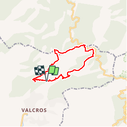

Length
12.1 km

Max alt
461 m

Uphill gradient
446 m
Km-Effort
18.1 km

Min alt
115 m

Downhill gradient
446 m
Boucle
Yes
Creation date :
2019-04-30 08:32:33.228
Updated on :
2019-04-30 14:00:08.596
5h26
Difficulty : Medium

FREE GPS app for hiking
 SityTrail
IGN / Geographical institutes
SityTrail Plus
The world is yours!
About
Trail Walking of 12.1 km to be discovered at Provence-Alpes-Côte d'Azur, Var, La Londe-les-Maures. This trail is proposed by chrifor.
Description
départ face à l'entrée du golfe très belle rando en balcon sur Hyères et les îles
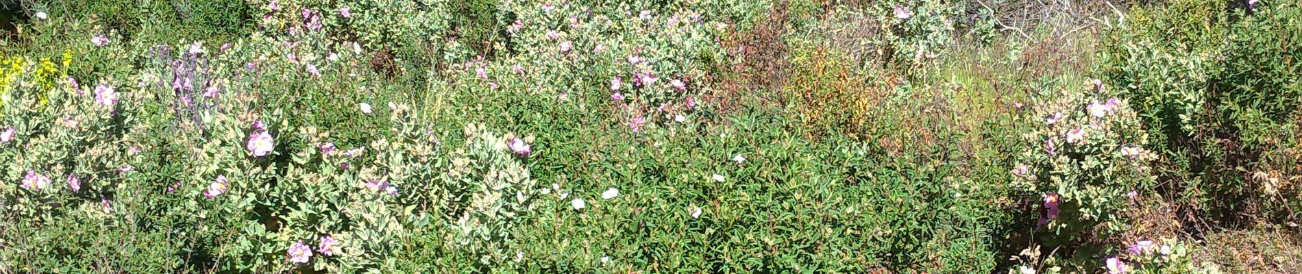
Photos


Positioning
Country:
France
Region :
Provence-Alpes-Côte d'Azur
Department/Province :
Var
Municipality :
La Londe-les-Maures
Location:
Unknown
Start:(Dec)
Start:(UTM)
278786 ; 4785054 (32T) N.
Comments