


4.1 km | 6.6 km-effort


User


FREE GPS app for hiking
 SityTrail
IGN / Geographical institutes
SityTrail World
The world is yours!
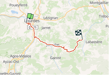
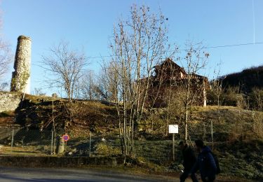
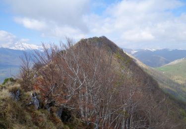
Trail Equestrian of 18 km to be discovered at Occitania, Hautespyrenees, Lourdes. This trail is proposed by musashy65.
CREER PAR AMI STEPHANE BOF

On foot
Walking
Walking
Walking
Walking

Walking

Walking
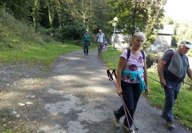
Walking
Walking
genial