


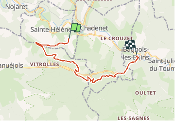

10.3 km | 14.5 km-effort


User


FREE GPS app for hiking
 SityTrail
IGN / Geographical institutes
SityTrail World
The world is yours!
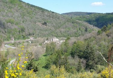
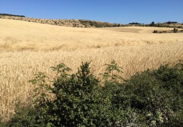
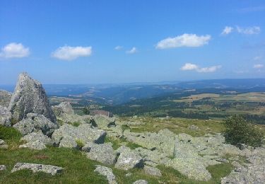
Trail Walking of 12.9 km to be discovered at Occitania, Lozère, Sainte-Hélène. This trail is proposed by olivier78000.


Other activity

Walking
Walking

Equestrian
Equestrian

Walking

Walking

Walking