


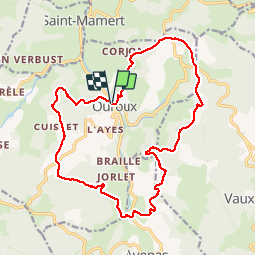
Ouroux (19 km -687 m)

Thomasdanielle
User

Length
18.6 km

Max alt
782 m

Uphill gradient
687 m
Km-Effort
28 km

Min alt
445 m

Downhill gradient
685 m
Boucle
Yes
Creation date :
2019-05-06 07:40:48.0
Updated on :
2019-05-06 18:39:16.901
6h03
Difficulty : Very difficult

FREE GPS app for hiking
 SityTrail
IGN / Geographical institutes
SityTrail Plus
The world is yours!
About
Trail Walking of 18.6 km to be discovered at Auvergne-Rhône-Alpes, Rhône, Deux-Grosnes. This trail is proposed by Thomasdanielle.
Description
D/A Parking au centre village ou parking derrière l''église
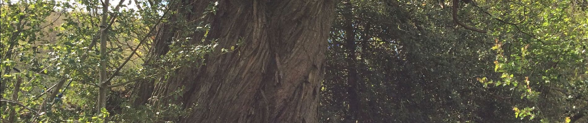
Photos
 - Photo 1")
 - Photo 2")
Positioning
Country:
France
Region :
Auvergne-Rhône-Alpes
Department/Province :
Rhône
Municipality :
Deux-Grosnes
Location:
Ouroux
Start:(Dec)
Start:(UTM)
622869 ; 5120999 (31T) N.
Comments
Belle rando.Parcours varié.Beaux paysages.