les hauts de Roquebrune sur Argens

nadinebondoux
User GUIDE

Length
6.2 km

Max alt
141 m

Uphill gradient
206 m
Km-Effort
8.9 km

Min alt
18 m

Downhill gradient
206 m
Boucle
Yes
Creation date :
2019-05-07 11:46:16.471
Updated on :
2019-05-07 13:56:24.802
2h09
Difficulty : Easy

FREE GPS app for hiking
 SityTrail
IGN / Geographical institutes
SityTrail Plus
The world is yours!
About
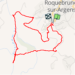
Trail Walking of 6.2 km to be discovered at Provence-Alpes-Côte d'Azur, Var, Roquebrune-sur-Argens. This trail is proposed by nadinebondoux.
Description
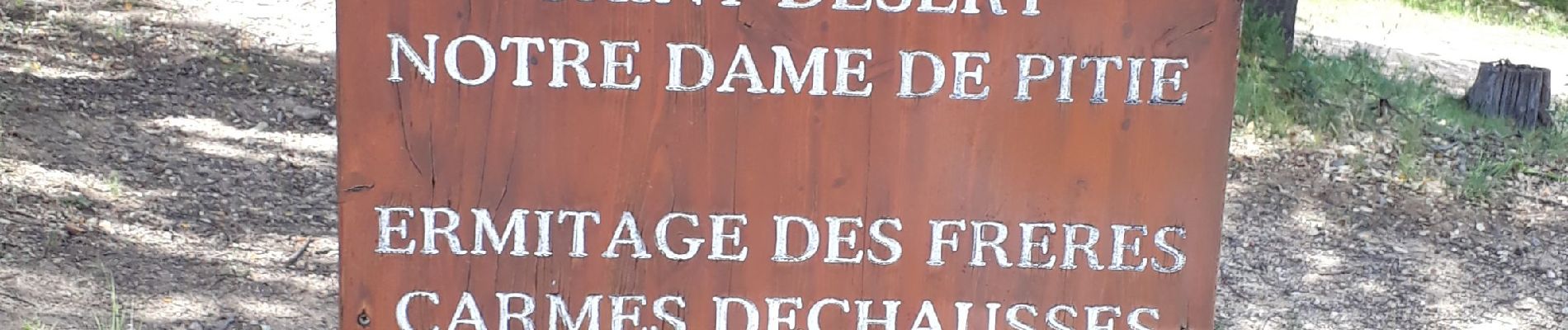
depart cimetière, chapelle, 25 ponts , bord de cours d'eau, belle vue sur le Rocher, monastère Notre Dame
Photos


Positioning
Country:
France
Region :
Provence-Alpes-Côte d'Azur
Department/Province :
Var
Municipality :
Roquebrune-sur-Argens
Location:
Unknown
Start:(Dec)
Start:(UTM)
308514 ; 4812360 (32T) N.
Comments