


Amillis Michel

desrvall
User
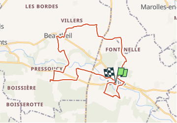

Length
18.3 km

Max alt
152 m

Uphill gradient
195 m
Km-Effort
21 km

Min alt
98 m

Downhill gradient
194 m
Boucle
Yes
Creation date :
2019-05-08 09:31:44.25
Updated on :
2019-05-08 10:00:30.254
4h21
Difficulty : Very difficult

FREE GPS app for hiking
 SityTrail
IGN / Geographical institutes
SityTrail Plus
The world is yours!
About
Trail Walking of 18.3 km to be discovered at Ile-de-France, Seine-et-Marne, Amillis. This trail is proposed by desrvall.
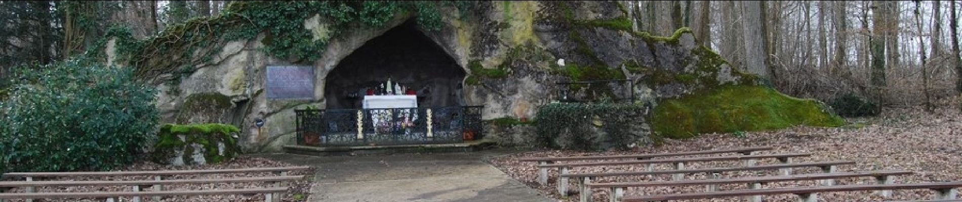
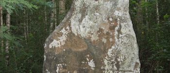
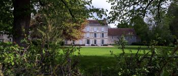
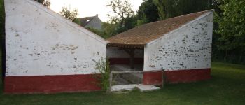
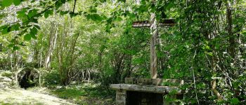
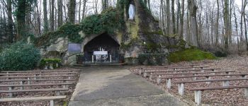
Photos


Positioning
Country:
France
Region :
Ile-de-France
Department/Province :
Seine-et-Marne
Municipality :
Amillis
Location:
Unknown
Start:(Dec)
Start:(UTM)
509452 ; 5398639 (31U) N.
Comments