


parcours vert CO Xertigny 10-05-19

annefrance70
User
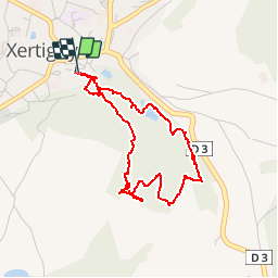

Length
3.9 km

Max alt
562 m

Uphill gradient
104 m
Km-Effort
5.3 km

Min alt
490 m

Downhill gradient
101 m
Boucle
Yes
Creation date :
2019-05-10 11:11:25.083
Updated on :
2019-05-10 13:29:07.853
1h30
Difficulty : Easy
1h30
Difficulty : Easy

FREE GPS app for hiking
 SityTrail
IGN / Geographical institutes
SityTrail Plus
The world is yours!
About
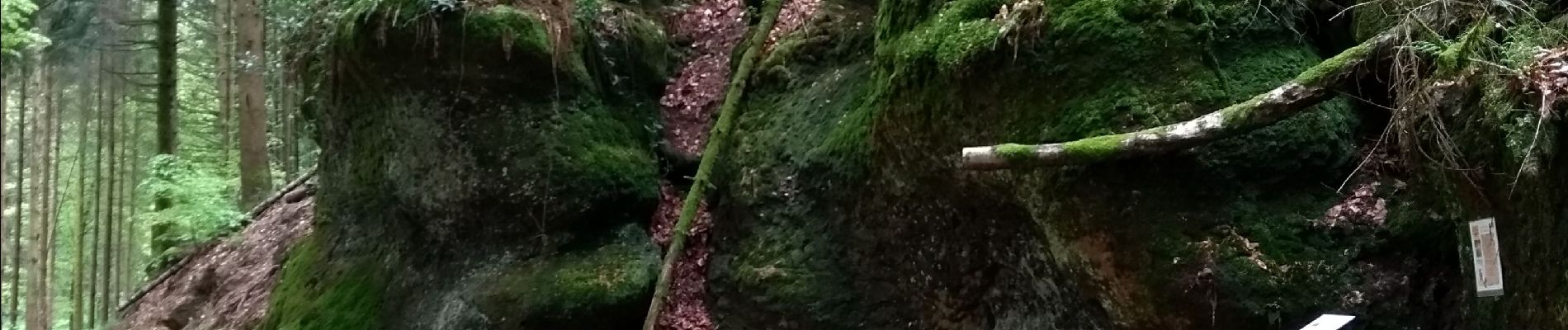
Trail Walking of 3.9 km to be discovered at Grand Est, Vosges, Xertigny. This trail is proposed by annefrance70.
Photos

Positioning
Country:
France
Region :
Grand Est
Department/Province :
Vosges
Municipality :
Xertigny
Location:
Unknown
Start:(Dec)
Start:(UTM)
306491 ; 5324464 (32U) N.
Comments