MR_THIERS-sur-THEVE_EST_La Pistole_5.9Km

GR77LP
User
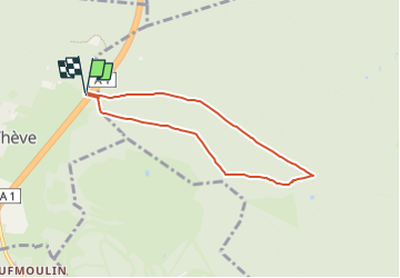

Length
5.9 km

Max alt
109 m

Uphill gradient
60 m
Km-Effort
6.6 km

Min alt
64 m

Downhill gradient
59 m
Boucle
Yes
Creation date :
2019-05-11 14:48:33.768
Updated on :
2023-03-30 14:36:16.167
1h30
Difficulty : Medium

FREE GPS app for hiking
 SityTrail
IGN / Geographical institutes
SityTrail Plus
The world is yours!
About
Trail Walking of 5.9 km to be discovered at Hauts-de-France, Oise, Thiers-sur-Thève. This trail is proposed by GR77LP.
Description
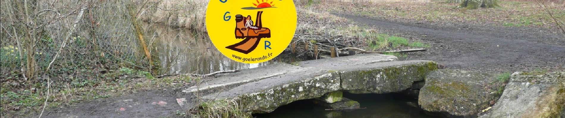
https://www.goelerando.fr/
DAMMARTIN en GOËLE 77
Depart de THIERS SUR THEVE :
avant pont autoroutier : Pkg Parcours Santé
ou après pont autoroutier : Maison Forestière de la PISTOLE
Photos

Positioning
Country:
France
Region :
Hauts-de-France
Department/Province :
Oise
Municipality :
Thiers-sur-Thève
Location:
Unknown
Start:(Dec)
Start:(UTM)
470175 ; 5444972 (31U) N.
Comments