Trail Walking Thiers-sur-Thève - MR_THIERS-sur-THEVE_EST_La Pistole_5.9Km - Photo

MR_THIERS-sur-THEVE_EST_La Pistole_5.9Km

 GR77LP
GR77LP

User

© OpenStreetMap contributors
Length
Length
5.9 km
Max alt
Max alt
109 m
Uphill gradient
Uphill gradient
60 m
Km-Effort
Km-Effort  
6.6 km
Min alt
Min alt
64 m
Downhill gradient
Downhill gradient
59 m
Boucle
Boucle
Yes
Creation date :
2019-05-11 14:48:33.768
Updated on :
2023-03-30 14:36:16.167

(3 Reviews)

Walking
Walking
1h30
Difficulty : Medium

Scan this QR Code to open this trail in the SityTrail application

FREE GPS app for hiking

Logo SityTrail SityTrail

IGN / Geographical institutes

Download SityTrail from the App Store Download SityTrail from Google Play

Logo SityTrail SityTrail World

The world is yours!

Download SityTrail from the App Store Download SityTrail from Google Play Download SityTrail on Huawei AppGallery

About

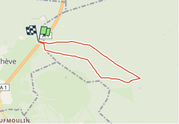
Trail Walking of 5.9 km to be discovered at Hauts-de-France, Oise, Thiers-sur-Thève. This trail is proposed by GR77LP.

Description

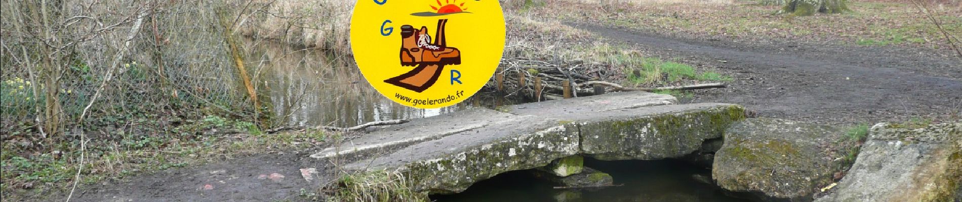
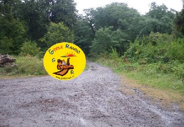
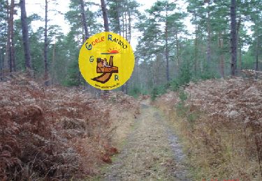
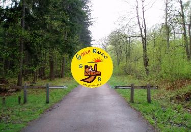
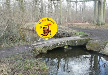
https://www.goelerando.fr/
DAMMARTIN en GOËLE 77
Depart de THIERS SUR THEVE :
avant pont autoroutier  : Pkg Parcours Santé
ou après pont autoroutier  : Maison Forestière de la PISTOLE

Elevation profile

Photos

Positioning

Country:
France
Region :
Hauts-de-France
Department/Province :
Oise
Municipality :
Thiers-sur-Thève
Location:
Unknown
Start:(UTM)
470175 ; 5444972 (31U) N.

Comments

Please log in to post a review or rate the element


Trails nearby

Trail Walking Senlis - SM_ERMENONVILLE Mais Forest BIAT_7.9Km - Photo
Walking
GR77LP

Walking

Medium
(2)
Senlis, Hauts-de-France, Oise, France
7.9 km | 8.9 km-effort
2h 1min
Yes
Trail Walking Fontaine-Chaalis - MR_ERMENONVILLE-Maison-Blanche_5.8Km - Photo
Walking
GR77LP

Walking

Medium
(1)
Fontaine-Chaalis, Hauts-de-France, Oise, France
5.8 km | 6.6 km-effort
1h 30min
Yes
Trail Walking Mont-l'Évêque - SM_MONT-L'EVEQUE_8Km - Photo
Walking
GR77LP

Walking

Medium
(4)
Mont-l'Évêque, Hauts-de-France, Oise, France
8.1 km | 9.1 km-effort
1h 59min
Yes
Trail Walking Fontaine-Chaalis - SM_ERMENONVILLE_CROIX-NEUVE_7.9Km - Photo
Walking
GR77LP

Walking

Medium
(6)
Fontaine-Chaalis, Hauts-de-France, Oise, France
7.3 km | 8.3 km-effort
1h 58min
Yes
Trail Walking Pontarmé - MR_PONTARME-OUEST_4.9Km - Photo
Walking
GR77LP

Walking

Easy
(1)
Pontarmé, Hauts-de-France, Oise, France
4.9 km | 5.5 km-effort
1h 12min
Yes
Trail Walking Fontaine-Chaalis - MR_ERMENONVILLE_Croix Neuve_5.6Km - Photo
Walking
GR77LP

Walking

Medium
(5)
Fontaine-Chaalis, Hauts-de-France, Oise, France
5.6 km | 6.7 km-effort
1h 27min
Yes
Trail Walking Thiers-sur-Thève - MR_THIERS-sur-THEVE_5.3Km - Photo
Walking

Walking

Medium
(4)
Thiers-sur-Thève, Hauts-de-France, Oise, France
5.3 km | 6 km-effort
1h 22min
Yes
Trail Walking Thiers-sur-Thève - SM_THIERS-sur-THEVE_8.2Km  - Photo
Walking
GR77LP

Walking

Medium
(4)
Thiers-sur-Thève, Hauts-de-France, Oise, France
8.3 km | 9.2 km-effort
1h 57min
Yes
Trail Walking Pontarmé - SM_PONTARME_EST(Chateau)_8.6Km - Photo
Walking

Walking

Medium
(5)
Pontarmé, Hauts-de-France, Oise, France
8.6 km | 9.7 km-effort
2h 9min
Yes


Close
My subscriptions