


2019 05 12 Au pied du Lisieux

psesjs
User
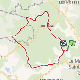

Length
8.9 km

Max alt
1159 m

Uphill gradient
228 m
Km-Effort
12 km

Min alt
1011 m

Downhill gradient
228 m
Boucle
Yes
Creation date :
2019-05-11 13:47:19.248
Updated on :
2019-05-11 15:57:33.922
2h09
Difficulty : Very easy

FREE GPS app for hiking
 SityTrail
IGN / Geographical institutes
SityTrail Plus
The world is yours!
About
Trail Walking of 8.9 km to be discovered at Auvergne-Rhône-Alpes, Haute-Loire, Mazet-Saint-Voy. This trail is proposed by psesjs.
Positioning
Country:
France
Region :
Auvergne-Rhône-Alpes
Department/Province :
Haute-Loire
Municipality :
Mazet-Saint-Voy
Location:
Unknown
Start:(Dec)
Start:(UTM)
597530 ; 4989523 (31T) N.
Comments