


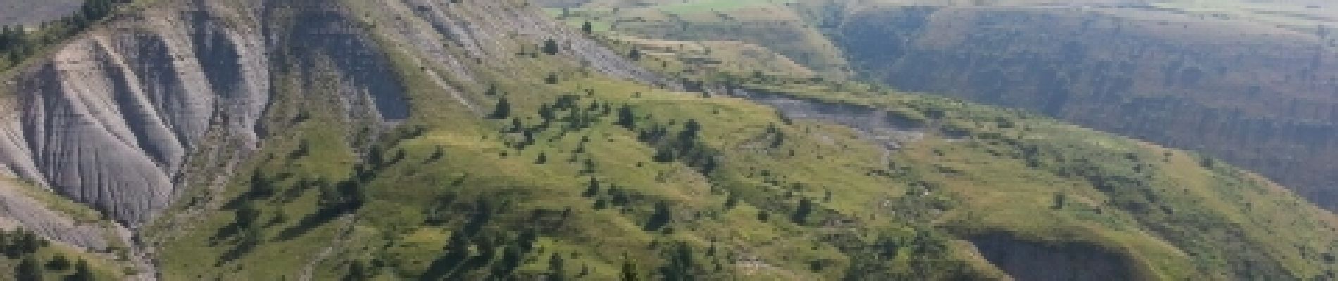
les deux monts verts

lablaquiere
User
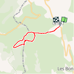

Length
6.8 km

Max alt
1215 m

Uphill gradient
210 m
Km-Effort
9.6 km

Min alt
1098 m

Downhill gradient
211 m
Boucle
Yes
Creation date :
2014-12-10 00:00:00.0
Updated on :
2014-12-10 00:00:00.0
2h31
Difficulty : Medium

FREE GPS app for hiking
 SityTrail
IGN / Geographical institutes
SityTrail Plus
The world is yours!
About
Trail Walking of 6.8 km to be discovered at Occitania, Lozère, Les Bondons. This trail is proposed by lablaquiere.
Description
chemin large
Photos


Positioning
Country:
France
Region :
Occitania
Department/Province :
Lozère
Municipality :
Les Bondons
Location:
Unknown
Start:(Dec)
Start:(UTM)
548831 ; 4916929 (31T) N.
Comments