


Sierre - Zinal

gut72ch
User
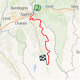

Length
32 km

Max alt
2434 m

Uphill gradient
2187 m
Km-Effort
57 km

Min alt
570 m

Downhill gradient
1088 m
Boucle
No
Creation date :
2014-12-10 00:00:00.0
Updated on :
2014-12-10 00:00:00.0
5h00
Difficulty : Difficult

FREE GPS app for hiking
 SityTrail
IGN / Geographical institutes
SityTrail Plus
The world is yours!
About
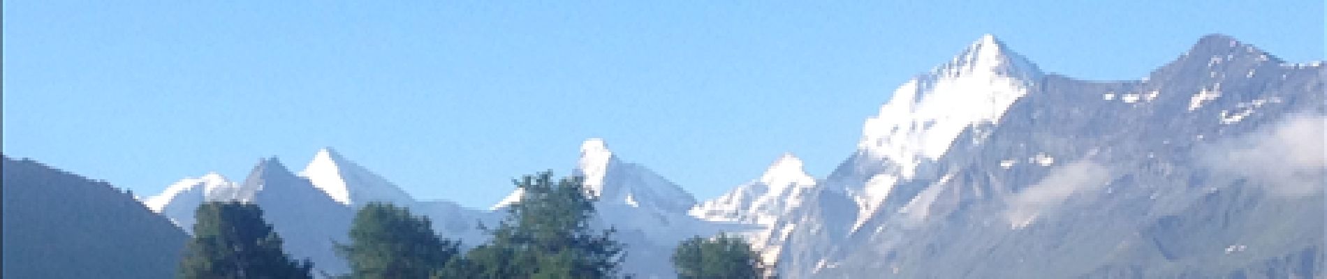
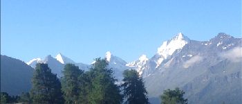
Trail Running of 32 km to be discovered at Valais/Wallis, Sierre, Sierre. This trail is proposed by gut72ch.
Photos


Positioning
Country:
Switzerland
Region :
Valais/Wallis
Department/Province :
Sierre
Municipality :
Sierre
Location:
Unknown
Start:(Dec)
Start:(UTM)
389385 ; 5127256 (32T) N.
Comments