


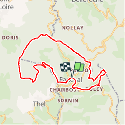
Ranchal (18 km - D. 520 m)

Thomasdanielle
User


5h59
Difficulty : Difficult

FREE GPS app for hiking
 SityTrail
IGN / Geographical institutes
SityTrail Plus
The world is yours!
About
Trail Walking of 17.6 km to be discovered at Auvergne-Rhône-Alpes, Rhône, Ranchal. This trail is proposed by Thomasdanielle.
Description
D/A : Parking Antoine Cugnet (à côté de la mairie)
Prendre la route à droite D10 à un embranchement laisser la D10 puis continuer sur la route sur la gauche, prendre un petit sentier sur la droite pour éviter sur 200 m environ la route.
Prendre la direction de Polcy, Croix de fer, après avoir monter le long du bois marcher au travers du bois (pas de sentier) pour arriver à Notre-Dame de la Rochette, Col des Ecorbans, les Rousselles, Mont Pinay, Croix bleue, Foupeysson, petit pont le ruisseau "Le Reins" et le longer, La Vallée, monter sur la gauche pour arriver plus haut près de l'école de Ranchal et aller jusqu'au parking.
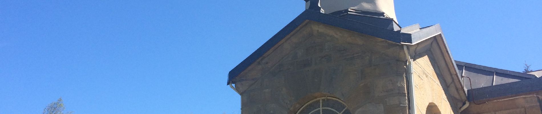
Photos
 - Photo 1")
Positioning
Comments