


innimond_couard_chanaux

malc
User


Length
17.4 km

Max alt
1116 m

Uphill gradient
513 m
Km-Effort
24 km

Min alt
852 m

Downhill gradient
512 m
Boucle
Yes
Creation date :
2014-12-10 00:00:00.0
Updated on :
2014-12-10 00:00:00.0
1h37
Difficulty : Medium

FREE GPS app for hiking
 SityTrail
IGN / Geographical institutes
SityTrail Plus
The world is yours!
About
Trail Mountain bike of 17.4 km to be discovered at Auvergne-Rhône-Alpes, Ain, Innimond. This trail is proposed by malc.
Description
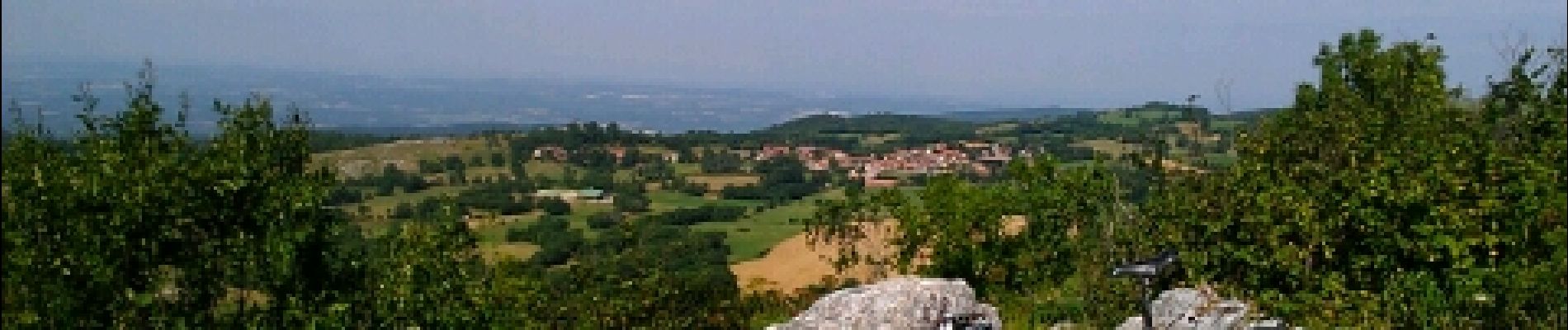
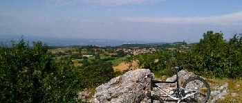
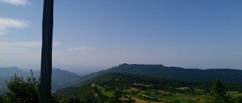
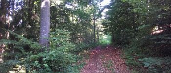
Boucle de découverte en passant par la croix puis redescente vers le ruisseau de la brune avant de revenir par les crêtes de chanaux.
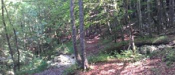
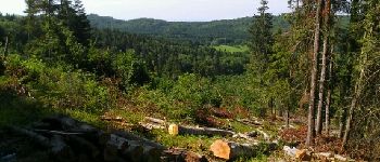
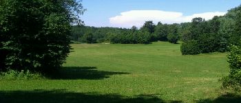
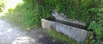
Photos


Positioning
Country:
France
Region :
Auvergne-Rhône-Alpes
Department/Province :
Ain
Municipality :
Innimond
Location:
Unknown
Start:(Dec)
Start:(UTM)
700021 ; 5073067 (31T) N.
Comments