


Salette croix de sou

F.Rioland
User


Length
72 km

Max alt
905 m

Uphill gradient
1390 m
Km-Effort
91 km

Min alt
88 m

Downhill gradient
1390 m
Boucle
Yes
Creation date :
2019-05-15 12:43:37.749
Updated on :
2019-06-15 17:52:12.903
5h19
Difficulty : Difficult

FREE GPS app for hiking
 SityTrail
IGN / Geographical institutes
SityTrail Plus
The world is yours!
About
Trail Road bike of 72 km to be discovered at Occitania, Aude, Azille. This trail is proposed by F.Rioland.
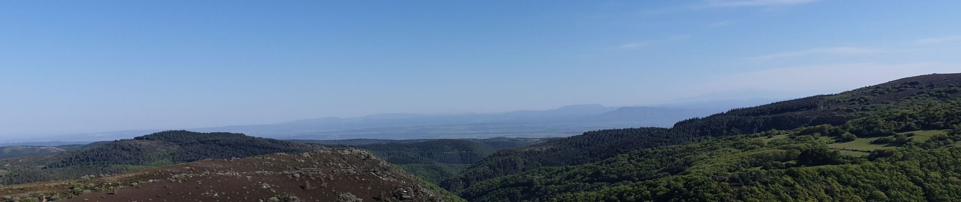
Photos


Positioning
Country:
France
Region :
Occitania
Department/Province :
Aude
Municipality :
Azille
Location:
Unknown
Start:(Dec)
Start:(UTM)
472481 ; 4791674 (31T) N.
Comments