


SM_Tour de Dammartin SM

GR77LP
User

Length
8 km

Max alt
180 m

Uphill gradient
156 m
Km-Effort
10 km

Min alt
112 m

Downhill gradient
154 m
Boucle
Yes
Creation date :
2019-05-16 15:39:06.965
Updated on :
2023-01-20 18:31:58.008
2h12
Difficulty : Medium

FREE GPS app for hiking
 SityTrail
IGN / Geographical institutes
SityTrail Plus
The world is yours!
About
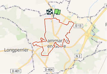
Trail Walking of 8 km to be discovered at Ile-de-France, Seine-et-Marne, Dammartin-en-Goële. This trail is proposed by GR77LP.
Description
https://www.goelerando.fr/
DAMMARTIN en GOËLE 77
Photos

Positioning
Country:
France
Region :
Ile-de-France
Department/Province :
Seine-et-Marne
Municipality :
Dammartin-en-Goële
Location:
Unknown
Start:(Dec)
Start:(UTM)
476750 ; 5434639 (31U) N.
Comments