


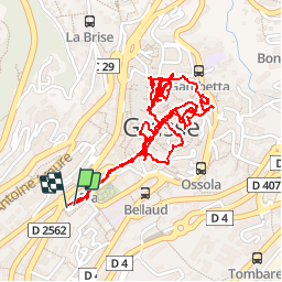
20190517. Grasse, le centre historique à pied.

hal2012
User


3h24
Difficulty : Very easy

FREE GPS app for hiking
 SityTrail
IGN / Geographical institutes
SityTrail Plus
The world is yours!
About
Trail Walking of 3.7 km to be discovered at Provence-Alpes-Côte d'Azur, Maritime Alps, Grasse. This trail is proposed by hal2012.
Description
Grasse parking juste avant le 1er park souterrain 12h20...
5.10€...
Début marche 12h25
...
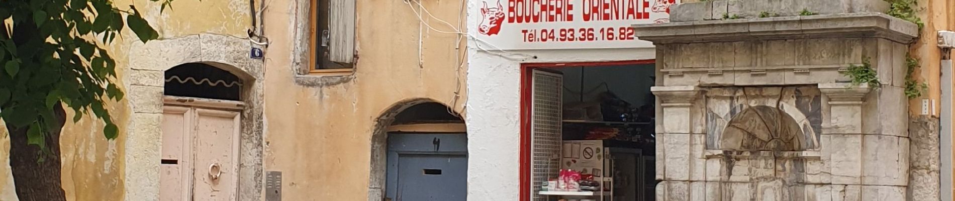
Petit Resto tunisien place Jean Jaures
15h40...16h12
2 kebabs
10€
Depart vers voiture 16h12
Voiture 16h20.
Photos


95 photos in total. Please click on a photo to see them all in the gallery.
Positioning
Comments