


Tête du Coin de l'Ours

oliviergau
User

Length
4.1 km

Max alt
2716 m

Uphill gradient
1044 m
Km-Effort
14.5 km

Min alt
1667 m

Downhill gradient
0 m
Boucle
No
Creation date :
2019-05-18 17:20:36.836
Updated on :
2019-05-18 17:20:36.836

FREE GPS app for hiking
 SityTrail
IGN / Geographical institutes
SityTrail Plus
The world is yours!
About
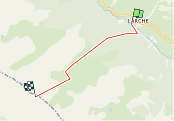
Trail of 4.1 km to be discovered at Provence-Alpes-Côte d'Azur, Alpes-de-Haute-Provence, Val-d'Oronaye. This trail is proposed by oliviergau.
Positioning
Country:
France
Region :
Provence-Alpes-Côte d'Azur
Department/Province :
Alpes-de-Haute-Provence
Municipality :
Val-d'Oronaye
Location:
Larche
Start:(Dec)
Start:(UTM)
328443 ; 4924145 (32T) N.
Comments