


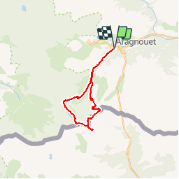

11.6 km | 28 km-effort


User


FREE GPS app for hiking
 SityTrail
IGN / Geographical institutes
SityTrail World
The world is yours!
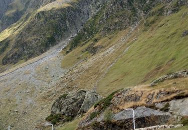
Trail Walking of 22 km to be discovered at Occitania, Hautespyrenees, Aragnouet. This trail is proposed by Polo-31.
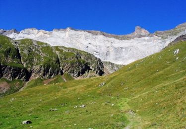
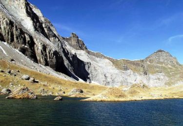
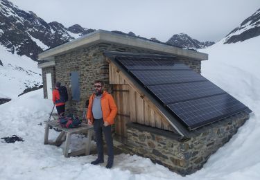
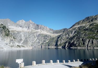
Randonnée en boucle Refuge de BARROUDE, Port de Barroude, Pic BARROSA, Pic Port Vieux (il faut passer au sommet), Port Vieux (1 ou 2 jours)

Walking
Walking
Walking

Walking
Snowshoes
Walking
Walking
Walking


sport
Randonnée effectuée les 03 et 04/08/2013. Boucle magnifique. faite en 2 jours avec bivouac au bord du lac de Barroude. Peut se faire à la journée pour les randonneurs endurants.