


Vélo route St Sac Plan D'Aups Auriol St Zac

harydh
User GUIDE


Length
31 km

Max alt
694 m

Uphill gradient
644 m
Km-Effort
40 km

Min alt
205 m

Downhill gradient
645 m
Boucle
Yes
Creation date :
2019-05-21 07:30:49.142
Updated on :
2019-05-21 11:20:37.856
1h39
Difficulty : Easy

FREE GPS app for hiking
 SityTrail
IGN / Geographical institutes
SityTrail Plus
The world is yours!
About
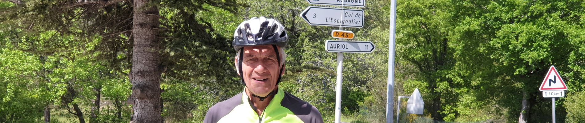
Trail Road bike of 31 km to be discovered at Provence-Alpes-Côte d'Azur, Var, Saint-Zacharie. This trail is proposed by harydh.
Photos

Positioning
Country:
France
Region :
Provence-Alpes-Côte d'Azur
Department/Province :
Var
Municipality :
Saint-Zacharie
Location:
Unknown
Start:(Dec)
Start:(UTM)
719108 ; 4806783 (31T) N.
Comments