


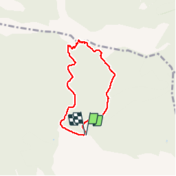


9.3 km | 14.2 km-effort

User


FREE GPS app for hiking
 SityTrail
IGN / Geographical institutes
SityTrail World
The world is yours!
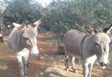
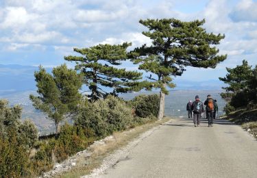
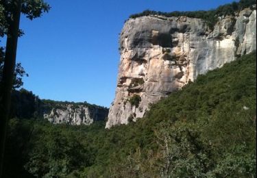
Trail Walking of 6 km to be discovered at Provence-Alpes-Côte d'Azur, Vaucluse, Lauris. This trail is proposed by MicDul.
Pour parvenir au parking à partir du rond point de Lauris sur la D973, vous devez prendre la direction du centre de Roquefraiche, sur la D61. Après 800m, prenez direction le centre équestre de Recaute, sur un chemin goudronné. Au bout de 1,8 km, vous parviendrez à un parking. Le panneautage vous montrera que vous êtes arrivés au bon endroit.
Parking : Parking du gros chêne - Station de pompage


Walking

On foot
On foot

Mountain bike
Walking
Other activity
Walking
Other activity
Mountain bike