


test nouvelle interface

jeff2
User

Length
7.1 km

Max alt
109 m

Uphill gradient
86 m
Km-Effort
8 km

Min alt
47 m

Downhill gradient
33 m
Boucle
No
Creation date :
2019-05-23 15:09:32.816
Updated on :
2019-05-23 17:58:01.803
1h33
Difficulty : Very easy

FREE GPS app for hiking
 SityTrail
IGN / Geographical institutes
SityTrail Plus
The world is yours!
About
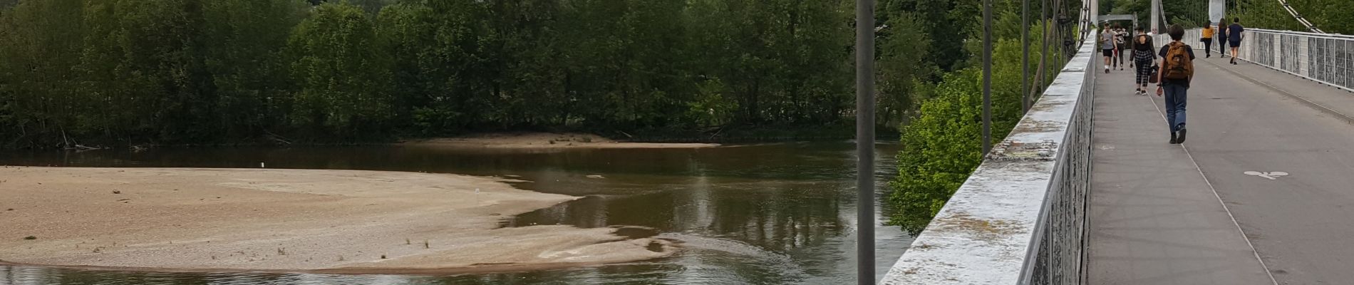
Trail Donkey back riding of 7.1 km to be discovered at Centre-Loire Valley, Indre-et-Loire, Tours. This trail is proposed by jeff2.
Description
Tours tours nord
Photos


Positioning
Country:
France
Region :
Centre-Loire Valley
Department/Province :
Indre-et-Loire
Municipality :
Tours
Location:
Unknown
Start:(Dec)
Start:(UTM)
325781 ; 5250760 (31T) N.
Comments