


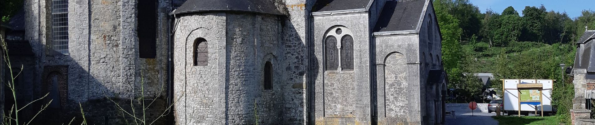
Tour de Celles par le Bois du Mauvais Mont

ScarniereLaurent
User
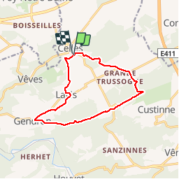

Length
11.4 km

Max alt
277 m

Uphill gradient
264 m
Km-Effort
14.9 km

Min alt
182 m

Downhill gradient
265 m
Boucle
Yes
Creation date :
2019-05-26 07:19:37.725
Updated on :
2019-05-26 09:53:45.931
2h20
Difficulty : Easy

FREE GPS app for hiking
 SityTrail
IGN / Geographical institutes
SityTrail Plus
The world is yours!
About
Trail Walking of 11.4 km to be discovered at Wallonia, Namur, Houyet. This trail is proposed by ScarniereLaurent.
Description
Très agréable randonnée à travers bois et champs autour de Celles en passant par Gendron.
Photos


Positioning
Country:
Belgium
Region :
Wallonia
Department/Province :
Namur
Municipality :
Houyet
Location:
Celles
Start:(Dec)
Start:(UTM)
643203 ; 5566029 (31U) N.
Comments