


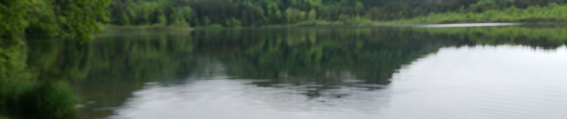
Lac de bonlieu

gilgeric
User
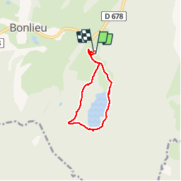

Length
4.7 km

Max alt
828 m

Uphill gradient
73 m
Km-Effort
5.7 km

Min alt
793 m

Downhill gradient
75 m
Boucle
Yes
Creation date :
2019-05-28 09:52:56.807
Updated on :
2019-05-28 11:06:12.456
1h12
Difficulty : Very easy

FREE GPS app for hiking
 SityTrail
IGN / Geographical institutes
SityTrail Plus
The world is yours!
About
Trail Walking of 4.7 km to be discovered at Bourgogne-Franche-Comté, Jura, Bonlieu. This trail is proposed by gilgeric.
Photos

Positioning
Country:
France
Region :
Bourgogne-Franche-Comté
Department/Province :
Jura
Municipality :
Bonlieu
Location:
Unknown
Start:(Dec)
Start:(UTM)
720039 ; 5164258 (31T) N.
Comments