


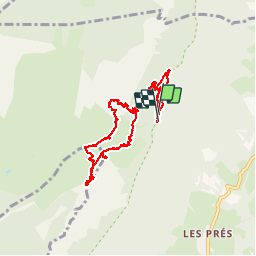


14.4 km | 27 km-effort

User


FREE GPS app for hiking
 SityTrail
IGN / Geographical institutes
SityTrail World
The world is yours!
Trail Walking of 10.4 km to be discovered at Auvergne-Rhône-Alpes, Isère, Sainte-Marie-du-Mont. This trail is proposed by patjobou.
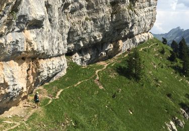
Retour par le col de l'Alpe.
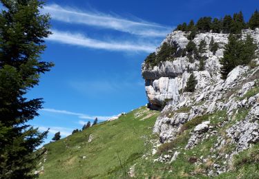
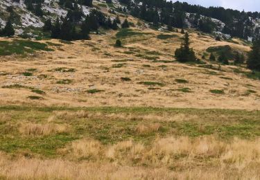
Belle rando. Vulnéraire.
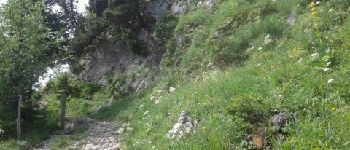
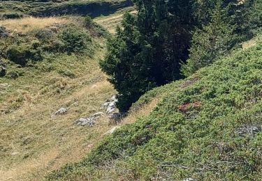
Le pas de la Rousse n’était pas loin.


Walking

Walking

Walking

Walking

Snowshoes

Walking
Walking
Walking
Walking