


mont aurelien tuilieres_pourcieux court

bernir
User
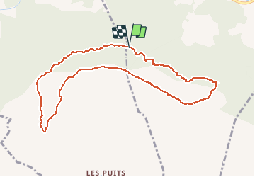

Length
10.4 km
Boucle
Yes
Creation date :
2019-05-31 12:30:50.534
Updated on :
2019-05-31 12:33:13.628
3h23
Difficulty : Medium

FREE GPS app for hiking
 SityTrail
IGN / Geographical institutes
SityTrail Plus
The world is yours!
About
Trail Walking of 10.4 km to be discovered at Provence-Alpes-Côte d'Azur, Var, Pourcieux. This trail is proposed by bernir.
Positioning
Country:
France
Region :
Provence-Alpes-Côte d'Azur
Department/Province :
Var
Municipality :
Pourcieux
Location:
Unknown
Start:(Dec)
Start:(UTM)
724749 ; 4815064 (31T) N.
Comments