


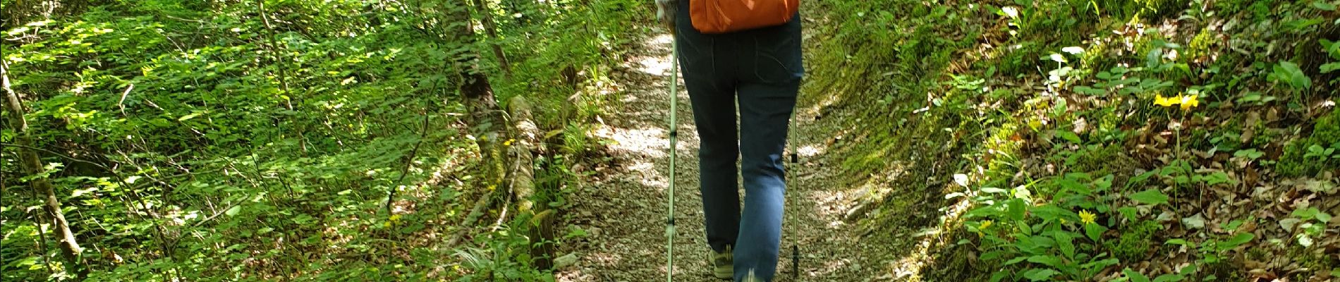
foret saou

NADINE52
User
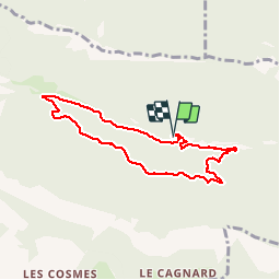

Length
7.1 km

Max alt
655 m

Uphill gradient
230 m
Km-Effort
10.2 km

Min alt
431 m

Downhill gradient
233 m
Boucle
Yes
Creation date :
2019-06-01 08:42:55.469
Updated on :
2019-06-01 13:04:19.968
2h24
Difficulty : Very easy

FREE GPS app for hiking
 SityTrail
IGN / Geographical institutes
SityTrail Plus
The world is yours!
About
Trail Walking of 7.1 km to be discovered at Auvergne-Rhône-Alpes, Drôme, Saou. This trail is proposed by NADINE52.
Photos


Positioning
Country:
France
Region :
Auvergne-Rhône-Alpes
Department/Province :
Drôme
Municipality :
Saou
Location:
Unknown
Start:(Dec)
Start:(UTM)
668897 ; 4946498 (31T) N.
Comments