


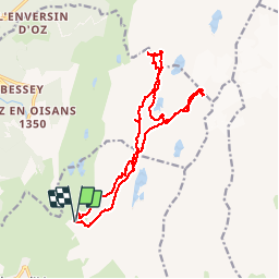

13.4 km | 27 km-effort

User


FREE GPS app for hiking
 SityTrail
IGN / Geographical institutes
SityTrail World
The world is yours!
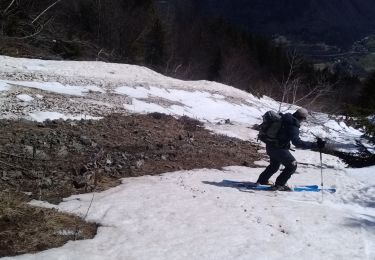
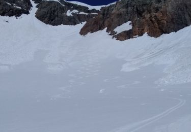
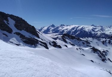
Trail Touring skiing of 17.4 km to be discovered at Auvergne-Rhône-Alpes, Isère, Huez. This trail is proposed by nadd73.
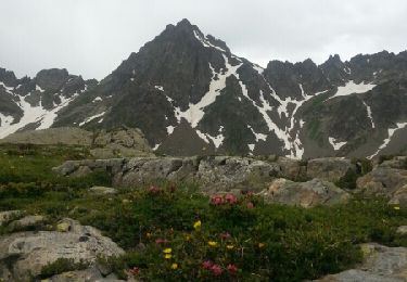
partis pour faire le col de la pyramide mais nous sommes partis trop tôt et il y a une belle corniche sur celui-ci. Donc descente et petite balade autour des lacs.
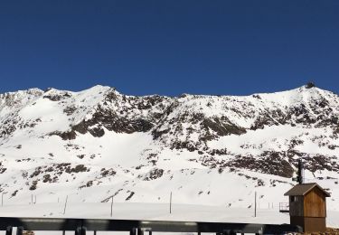
A faire quand la station est fermée


Walking
Snowshoes
Walking
Walking
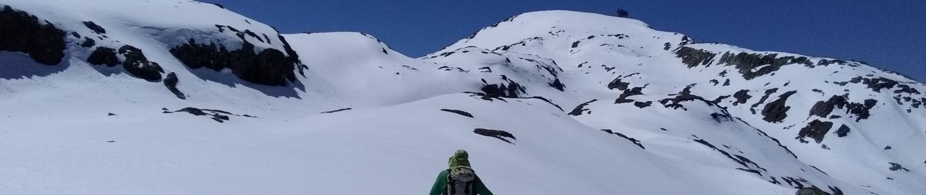
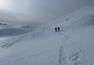
Touring skiing
Touring skiing
Touring skiing
Touring skiing
Touring skiing