


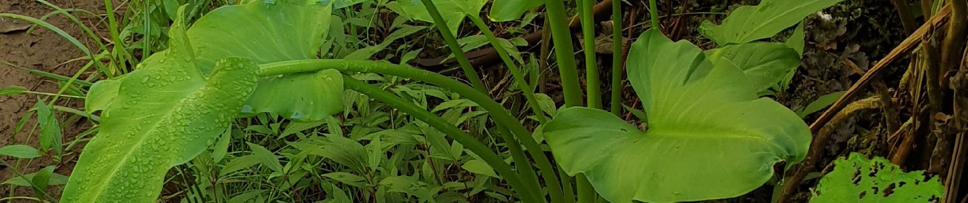
Bassin des hirondelles et cassé de Takamaka

lgmalherbe
User
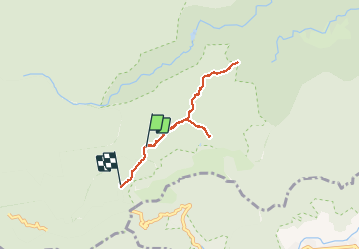

Length
7.6 km

Max alt
1349 m

Uphill gradient
266 m
Km-Effort
10.9 km

Min alt
1122 m

Downhill gradient
216 m
Boucle
No
Creation date :
2019-06-01 06:03:15.892
Updated on :
2019-06-01 17:24:16.177
3h31
Difficulty : Medium

FREE GPS app for hiking
 SityTrail
IGN / Geographical institutes
SityTrail Plus
The world is yours!
About
Trail Walking of 7.6 km to be discovered at Réunion, Unknown, Saint-Benoît. This trail is proposed by lgmalherbe.
Photos


Positioning
Country:
France
Region :
Réunion
Department/Province :
Unknown
Municipality :
Saint-Benoît
Location:
Unknown
Start:(Dec)
Start:(UTM)
352152 ; 7663863 (40K) S.
Comments