Trail Walking Lassy - canut - Photo
 Path VGK
Path VGK

User

© OpenStreetMap contributors
Length
Length
3.6 km
Max alt
Max alt
104 m
Uphill gradient
Uphill gradient
66 m
Km-Effort
Km-Effort  
4.5 km
Min alt
Min alt
55 m
Downhill gradient
Downhill gradient
66 m
Boucle
Boucle
Yes
Creation date :
2019-06-02 07:11:42.774
Updated on :
2019-06-02 08:09:55.277

(1 Reviews)

Walking
Walking
57m
Difficulty : Very easy

Scan this QR Code to open this trail in the SityTrail application

FREE GPS app for hiking

Logo SityTrail SityTrail

IGN / Geographical institutes

Download SityTrail from the App Store Download SityTrail from Google Play

Logo SityTrail SityTrail World

The world is yours!

Download SityTrail from the App Store Download SityTrail from Google Play Download SityTrail on Huawei AppGallery

About

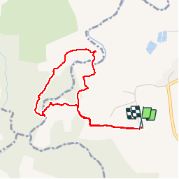
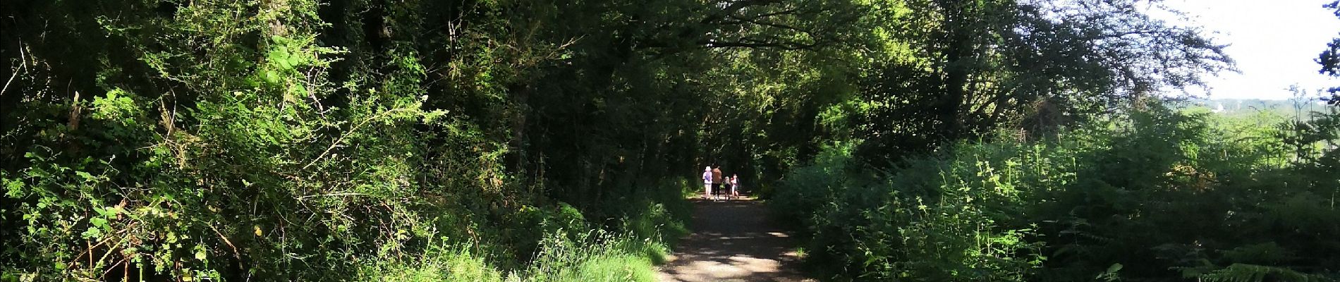
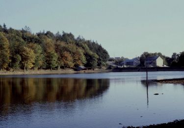
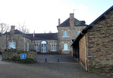
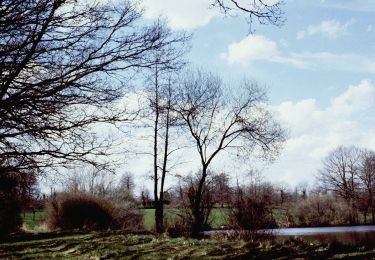
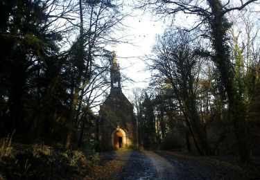
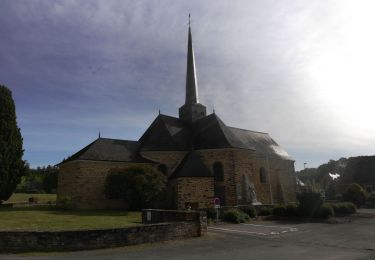
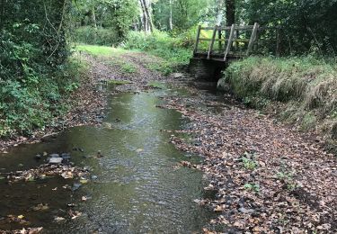
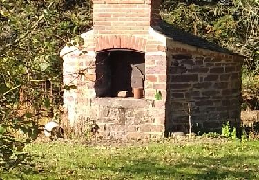
Trail Walking of 3.6 km to be discovered at Brittany, Ille-et-Vilaine, Lassy. This trail is proposed by Path VGK.

Description

Avec enfants de 4ans

Elevation profile

Photos

Positioning

Country:
France
Region :
Brittany
Department/Province :
Ille-et-Vilaine
Municipality :
Lassy
Location:
Unknown
Start:(UTM)
583205 ; 5313569 (30T) N.

Comments

Please log in to post a review or rate the element


Trails nearby

Trail On foot La Chapelle-Bouëxic - Le Chêne au Loup - Photo
On foot
PRO

On foot

Easy
La Chapelle-Bouëxic, Brittany, Ille-et-Vilaine, France
15.2 km | 17.9 km-effort
4h 4min
Yes
Trail Walking Lassy - Les landes de lassy - Photo
Walking
slecalloch

Walking

Easy
(2)
Lassy, Brittany, Ille-et-Vilaine, France
8.7 km | 10.7 km-effort
2h 20min
Yes
Trail On foot Lassy - Circuit des Landes - Photo
On foot
PRO

On foot

Easy
Lassy, Brittany, Ille-et-Vilaine, France
8.8 km | 10.9 km-effort
2h 28min
Yes
Trail On foot Lassy - Circuit des Ruisseaux - Photo
On foot
PRO

On foot

Easy
Lassy, Brittany, Ille-et-Vilaine, France
9.9 km | 12 km-effort
2h 44min
No
Trail Equestrian Lassy - Vallée du Ritoir et du Canut - Lassy  - Photo
Equestrian
tracegps

Equestrian

Very difficult
(1)
Lassy, Brittany, Ille-et-Vilaine, France
66 km | 78 km-effort
6h 30min
No
Trail On foot Goven - La Lande de Caffort - Photo
On foot
PRO

On foot

Easy
Goven, Brittany, Ille-et-Vilaine, France
11.4 km | 13.2 km-effort
3h 0min
Yes
Trail Walking La Chapelle-Bouëxic - 07052021 la Chapelle bouexic - Photo
Walking
chasle

Walking

Easy
La Chapelle-Bouëxic, Brittany, Ille-et-Vilaine, France
23 km | 27 km-effort
5h 26min
Yes
Trail Walking Baulon - 28.09.2019 - De Baulon-ouest à Maxent - Photo
Walking
babeth35

Walking

Difficult
Baulon, Brittany, Ille-et-Vilaine, France
30 km | 35 km-effort
8h 3min
Yes
Trail Walking Guignen - GUIGNEN 4 11 2018 - Photo
Walking
limase

Walking

Easy
Guignen, Brittany, Ille-et-Vilaine, France
9.3 km | 11.3 km-effort
2h 27min
Yes


Close
My subscriptions