


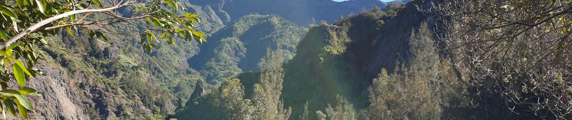
Boucle Cascade Bois Rouge

lgmalherbe
User
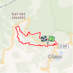

Length
10.8 km

Max alt
1379 m

Uphill gradient
767 m
Km-Effort
21 km

Min alt
904 m

Downhill gradient
758 m
Boucle
Yes
Creation date :
2019-06-02 05:40:25.857
Updated on :
2019-06-02 10:30:42.004
4h03
Difficulty : Difficult

FREE GPS app for hiking
 SityTrail
IGN / Geographical institutes
SityTrail Plus
The world is yours!
About
Trail Walking of 10.8 km to be discovered at Réunion, Unknown, Cilaos. This trail is proposed by lgmalherbe.
Photos


Positioning
Country:
France
Region :
Réunion
Department/Province :
Unknown
Municipality :
Cilaos
Location:
Unknown
Start:(Dec)
Start:(UTM)
340925 ; 7662730 (40K) S.
Comments