


st. Bernard

PurroB
User
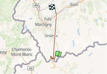

Length
44 km

Max alt
2913 m

Uphill gradient
4949 m
Km-Effort
116 km

Min alt
461 m

Downhill gradient
6940 m
Boucle
No
Creation date :
2014-12-10 00:00:00.0
Updated on :
2014-12-10 00:00:00.0
6h17
Difficulty : Unknown

FREE GPS app for hiking
 SityTrail
IGN / Geographical institutes
SityTrail Plus
The world is yours!
About
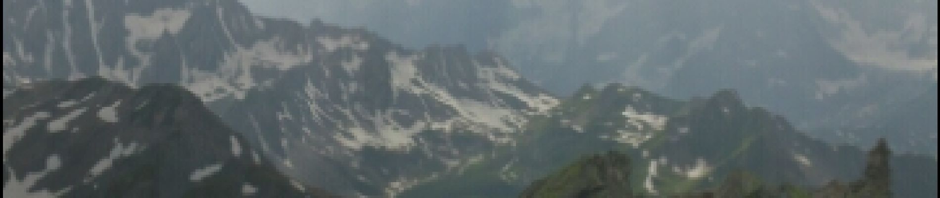
Trail Walking of 44 km to be discovered at Valais/Wallis, Entremont, Bourg-Saint-Pierre. This trail is proposed by PurroB.
Photos


Positioning
Country:
Switzerland
Region :
Valais/Wallis
Department/Province :
Entremont
Municipality :
Bourg-Saint-Pierre
Location:
Unknown
Start:(Dec)
Start:(UTM)
358212 ; 5081154 (32T) N.
Comments
Très jolie randonnée