


z forêt de Raphèle 04-06-19

cb8310
User
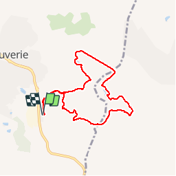

Length
8.1 km

Max alt
87 m

Uphill gradient
117 m
Km-Effort
9.7 km

Min alt
40 m

Downhill gradient
118 m
Boucle
Yes
Creation date :
2019-06-04 06:55:22.671
Updated on :
2019-06-04 14:24:52.489
2h34
Difficulty : Very easy

FREE GPS app for hiking
 SityTrail
IGN / Geographical institutes
SityTrail Plus
The world is yours!
About
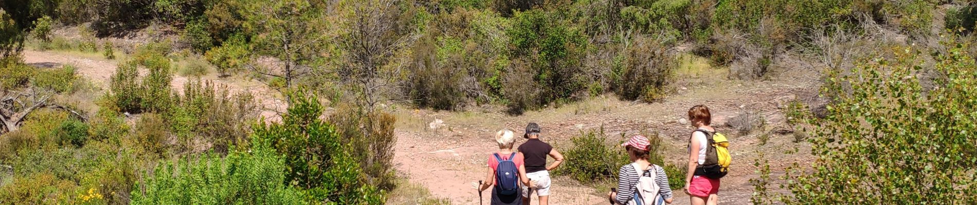
Trail Walking of 8.1 km to be discovered at Provence-Alpes-Côte d'Azur, Var, Roquebrune-sur-Argens. This trail is proposed by cb8310.
Description
rando à travers la forêt de Raphèle ,sans difficultés,parfois par de larges pistes parfois par des sentiers boisés
Photos


Positioning
Country:
France
Region :
Provence-Alpes-Côte d'Azur
Department/Province :
Var
Municipality :
Roquebrune-sur-Argens
Location:
Unknown
Start:(Dec)
Start:(UTM)
310390 ; 4817879 (32T) N.
Comments