


cormati.

mcterret
User
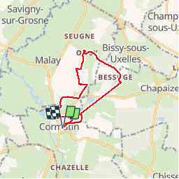

Length
11.2 km

Max alt
289 m

Uphill gradient
196 m
Km-Effort
13.8 km

Min alt
218 m

Downhill gradient
199 m
Boucle
Yes
Creation date :
2019-06-06 12:09:49.71
Updated on :
2019-06-06 16:08:56.458
2h06
Difficulty : Very easy

FREE GPS app for hiking
 SityTrail
IGN / Geographical institutes
SityTrail Plus
The world is yours!
About
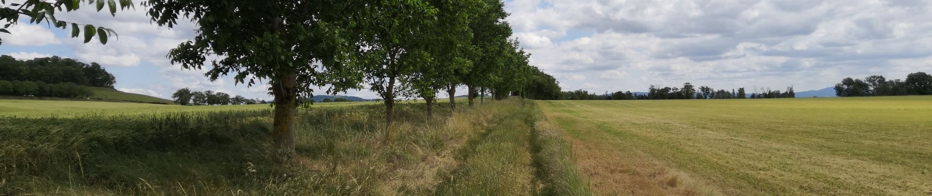
Trail Walking of 11.2 km to be discovered at Bourgogne-Franche-Comté, Saône-et-Loire, Cormatin. This trail is proposed by mcterret.
Photos

Positioning
Country:
France
Region :
Bourgogne-Franche-Comté
Department/Province :
Saône-et-Loire
Municipality :
Cormatin
Location:
Unknown
Start:(Dec)
Start:(UTM)
629505 ; 5155804 (31T) N.
Comments