


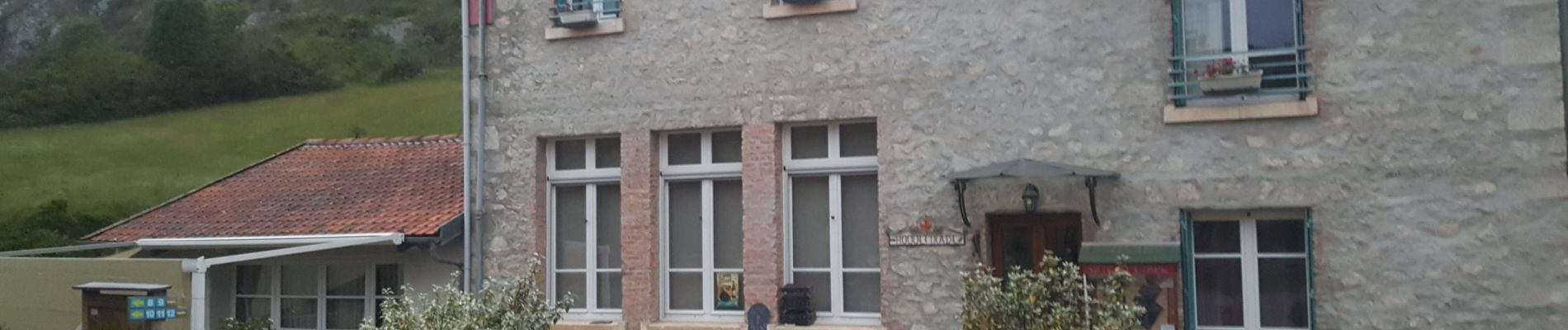
Cathare Fin Roquefixade. Foix

jeff2
User
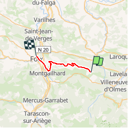

Length
21 km

Max alt
936 m

Uphill gradient
570 m
Km-Effort
30 km

Min alt
380 m

Downhill gradient
955 m
Boucle
No
Creation date :
2019-06-08 04:03:33.963
Updated on :
2019-06-08 08:54:59.51
4h24
Difficulty : Difficult

FREE GPS app for hiking
 SityTrail
IGN / Geographical institutes
SityTrail Plus
The world is yours!
About
Trail Coupling of 21 km to be discovered at Occitania, Ariège, Roquefixade. This trail is proposed by jeff2.
Photos


Positioning
Country:
France
Region :
Occitania
Department/Province :
Ariège
Municipality :
Roquefixade
Location:
Unknown
Start:(Dec)
Start:(UTM)
398507 ; 4754451 (31T) N.
Comments