


20190612 Bougnon rando réelle

Sugg
User
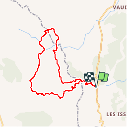

Length
17.9 km

Max alt
280 m

Uphill gradient
500 m
Km-Effort
25 km

Min alt
69 m

Downhill gradient
499 m
Boucle
Yes
Creation date :
2019-06-12 07:26:23.645
Updated on :
2019-06-12 13:56:48.924
6h27
Difficulty : Medium

FREE GPS app for hiking
 SityTrail
IGN / Geographical institutes
SityTrail Plus
The world is yours!
About
Trail Walking of 17.9 km to be discovered at Provence-Alpes-Côte d'Azur, Var, Roquebrune-sur-Argens. This trail is proposed by Sugg.
Description
RF petit groupe 6 au départ
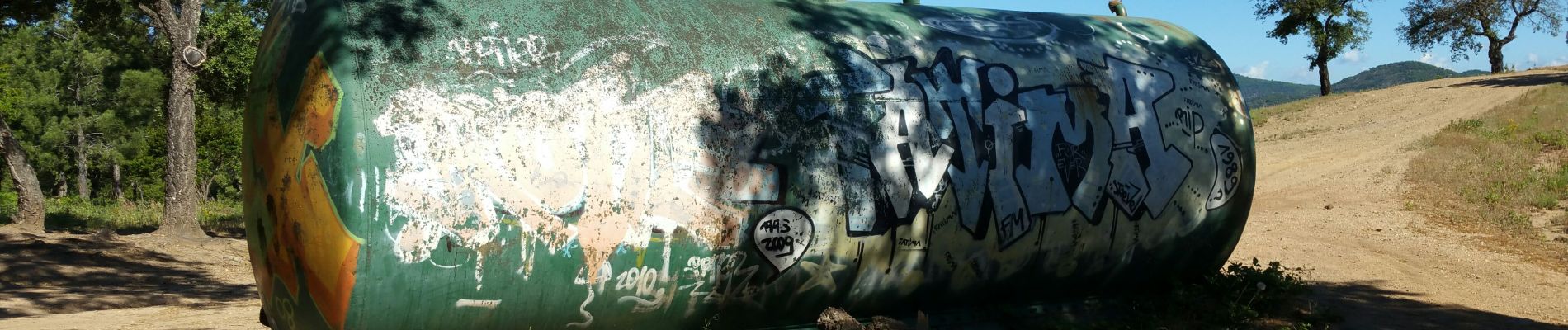
Photos


Positioning
Country:
France
Region :
Provence-Alpes-Côte d'Azur
Department/Province :
Var
Municipality :
Roquebrune-sur-Argens
Location:
Unknown
Start:(Dec)
Start:(UTM)
311437 ; 4803797 (32T) N.
Comments