SM_COYE la FORET_7.9Km

GR77LP
User
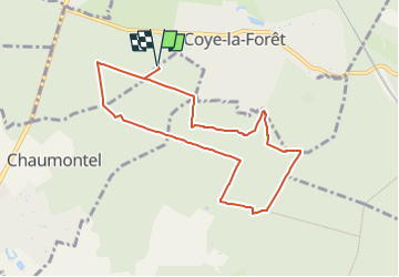

Length
7.9 km

Max alt
132 m

Uphill gradient
159 m
Km-Effort
10 km

Min alt
55 m

Downhill gradient
159 m
Boucle
Yes
Creation date :
2019-03-04 12:58:52.959
Updated on :
2022-06-15 09:02:25.426
2h40
Difficulty : Medium

FREE GPS app for hiking
 SityTrail
IGN / Geographical institutes
SityTrail Plus
The world is yours!
About
Trail Walking of 7.9 km to be discovered at Hauts-de-France, Oise, Coye-la-Forêt. This trail is proposed by GR77LP.
Description
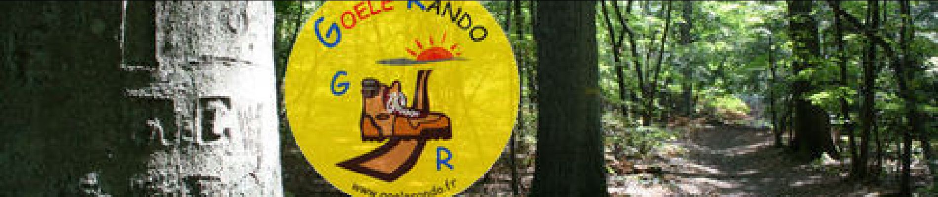
http://www.goelerando.fr/
DAMMARTIN en GOËLE 77
Photos

Positioning
Country:
France
Region :
Hauts-de-France
Department/Province :
Oise
Municipality :
Coye-la-Forêt
Location:
Unknown
Start:(Dec)
Start:(UTM)
460262 ; 5443130 (31U) N.
Comments