


CC_Velay_AC_03_Grezes_St-Alban-Limagnole_20060823

patrickdanilo
User
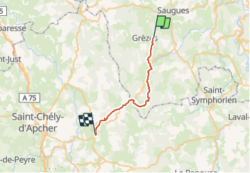

Length
26 km

Max alt
1336 m

Uphill gradient
582 m
Km-Effort
34 km

Min alt
1005 m

Downhill gradient
619 m
Boucle
No
Creation date :
2019-06-14 16:49:41.292
Updated on :
2022-02-09 10:52:15.16
6h15
Difficulty : Medium

FREE GPS app for hiking
 SityTrail
IGN / Geographical institutes
SityTrail Plus
The world is yours!
About
Trail Walking of 26 km to be discovered at Auvergne-Rhône-Alpes, Haute-Loire, Grèzes. This trail is proposed by patrickdanilo.
Description
Randonnée Marche de 26 km à découvrir à Grèzes, Haute-Loire, Auvergne-Rhône-Alpes. Cette randonnée est proposée par patrickdanilo
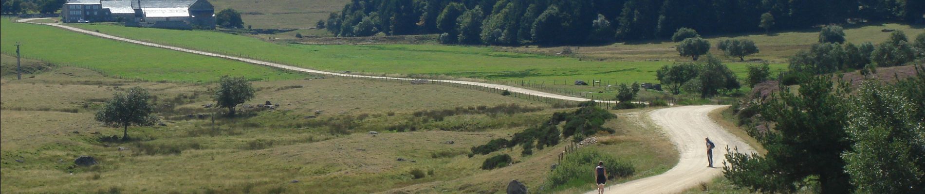
Photos


Positioning
Country:
France
Region :
Auvergne-Rhône-Alpes
Department/Province :
Haute-Loire
Municipality :
Grèzes
Location:
Unknown
Start:(Dec)
Start:(UTM)
539957 ; 4974154 (31T) N.
Comments