


CC_Velay_AD_04_St-Alban-Limagnole_Peyre-Aubrac_20060824

patrickdanilo
User
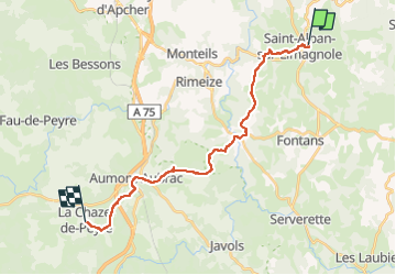

Length
21 km

Max alt
1104 m

Uphill gradient
493 m
Km-Effort
28 km

Min alt
918 m

Downhill gradient
463 m
Boucle
No
Creation date :
2019-06-15 14:44:07.717
Updated on :
2022-08-09 14:02:41.496
5h00
Difficulty : Medium

FREE GPS app for hiking
 SityTrail
IGN / Geographical institutes
SityTrail Plus
The world is yours!
About
Trail Walking of 21 km to be discovered at Occitania, Lozère, Saint-Alban-sur-Limagnole. This trail is proposed by patrickdanilo.
Description
Randonnée Marche de 21 km à découvrir à Occitanie, Lozère, Saint-Alban-sur-Limagnole. Cette randonnée est proposée par patrickdanilo.
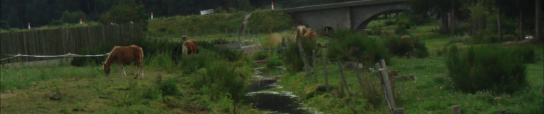
Photos


Positioning
Country:
France
Region :
Occitania
Department/Province :
Lozère
Municipality :
Saint-Alban-sur-Limagnole
Location:
Unknown
Start:(Dec)
Start:(UTM)
531015 ; 4958838 (31T) N.
Comments